3D Mapping & Modeling
Precise Orthomosaics & Digital Reconstructions
Immersive Digital Reconstructions
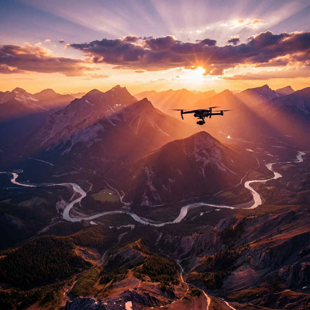
Our 3D mapping and modeling services use UAVs equipped with high-resolution cameras to capture precise aerial data. This data is processed through photogrammetry software to create detailed, georeferenced 3D representations of landscapes, structures, and entire environments.
Core Deliverables
- Orthomosaic Maps: Highly detailed, scale-correct GeoTIFF aerial maps without distortion.
- 3D Surface Models/Meshes: Photorealistic, 3D textured representations (GLB/OBJ) for architecture and visualizations.
- Point Clouds: Millions of precise spatial data points (LAZ/LAS) utilized for true engineering and terrain measurements.
Benefits
Survey large sites in a fraction of the time needed for ground-based techniques. Create high-quality visualizations safely and securely to support architecture, urban planning, and infrastructure inspection.