Professional Drone Services
For Business, Industry & Agriculture
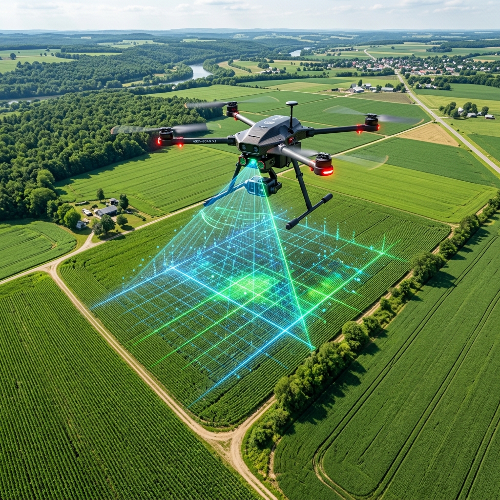
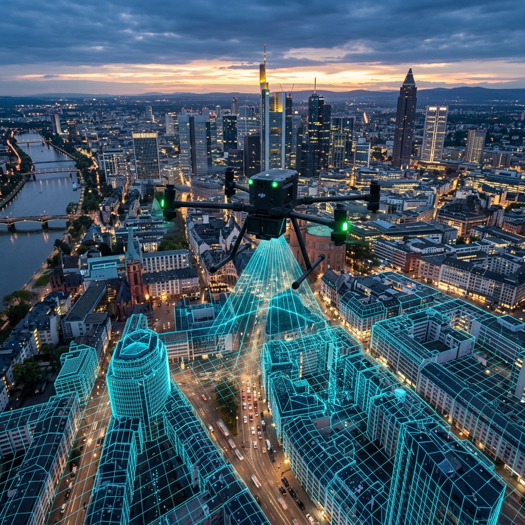
From precision agriculture analysis to construction site mapping, we provide data-driven aerial solutions.


Our Major Customers
We are proud to have delivered exceptional drone solutions for industry-leading organizations.
Rajasthan Tourism
Le-Page Reality
BAPS Swaminarayan Sanstha
Royal-El Page Reality
Customer Satisfaction Stories
"Their 3D mapping services for our construction site were incredibly precise and saved us weeks of manual surveying."
- Mark T., Construction Lead
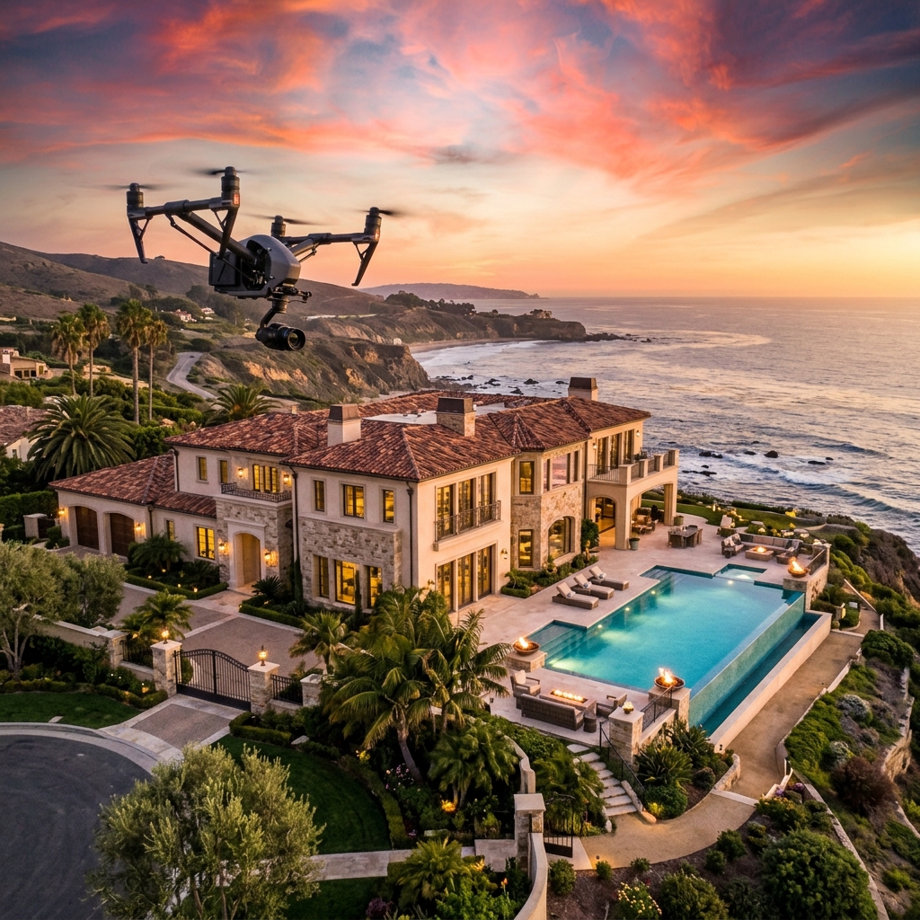
"The aerial showcase of our real estate property was stunning. It definitely helped us close the sale faster."
- Lisa R., Real Estate Agent
"Datarythm’s agricultural drone analysis provided us with valuable insights into our crop health. Top-notch service!"
- John S., Farm Manager
Request a Quote
Tell us about your project and we'll get back to you with a custom proposal.